|
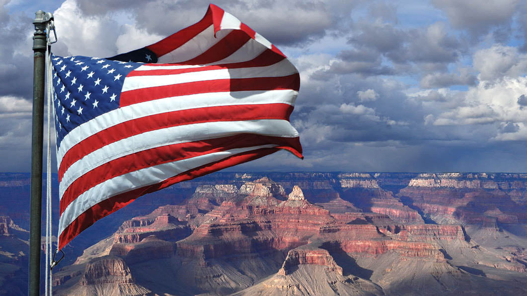
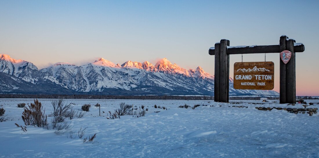
On February 26, 1919, Congress passed An Act to Establish the Grand Canyon National Park in the State of Arizona. The Grand Canyon of the Colorado River in northwestern Arizona is one of the earth’s greatest natural wonders. Comprising over 1 million acres of northwestern Arizona, the park includes the most spectacular area of the 277-mile canyon cut by the Colorado River. Still inhabited by Native peoples with at least 2,000 years of history in the area, some of the tribes of the Grand Canyon region are the Hopi, Navajo, Zuni, Paiute, Havasupai, and Hualapai. I will make it out there one of these days!! Also on this day but in 1929, Calvin Coolidge, in one of his final acts as president, set aside thousands of acres in Wyoming’s Grand Teton mountain range as a national park. Its original boundaries included just the Grand Teton mountain range and six glacial lakes. In 1943, President Franklin D. Roosevelt increased the acreage, including a disputed 35,000-acre donation from John D. Rockefeller Jr. that remained privately held until 1949. Congress added more land in 1950. Today, the park covers more than 300,000 acres.
Now, I have been here and can't wait to go back someday. Both are beautiful parks that we have here in the United States of America. Aren't we blessed?
1 Comment
CAUTION: This is an unofficial trail with no markings and several side trails. With that being said, make sure to bring your maps, compass, GPS, or a phone with a GPS app. And, make sure you know how to use them. It is very easy to lose your bearings and get turned around. You will need to go all the way to the end of Tunnel Ridge road and park at the Double Arch trailhead which is there at the turnaround, not the Auxier Ridge parking lot. Make your way past the Forest Service gate and begin the 0.6-0.7 mile hike on the old roadbed. As the road makes a turn toward the right, there will be a well-worn path going to the left. Turn left there and follow this trail to about mile 1. You will know you are on the correct trail if you go thru another Forest Service gate shortly after you turned off the roadbed. You will pass camping areas and some other unmarked trails. But when you get to that 1 mile, give or take a little, turn right onto another well-worn path. This will be the unmarked trail to Star Gap Arch. Up to this point the hike is easy. It continues to be an easy hike if you stay up top of the arch. But if you want to see it, which I highly recommend, you will need to do a little scrambling. Star Gap Arch is one of the largest arches in the Red River Gorge and it is gorgeous. Nearly 2/10ths of a mile you will come to an exposed rock where the trees give way to a great view and if you stop there, you are now standing on top of the arch. My husband and I went across and hiked maybe another 0.1 mile but decided to turn around and get down to the arch. When you do turn around and are heading back, once you get back across the arch you will notice, if you didn't already, there are several spurs off of this main trail. This next step is totally up to you and your experience. Take a peak at these little trails which go off to the right and see which one you feel comfortable doing. I don't recall which one we did, but I do know that we had to do a little squeeze between big rocks and then continued on towards the arch. Going back we went another route that looked easier for us. So take your time, be smart and stay safe! It is a dangerous area. But isn't this amazing?! I didn't get a whole lot of pictures and I'm really upset at myself for it. But that just means you have to go see it for yourself! This arch is huge! A whole lot bigger than I expected. So get outside and enjoy this fresh, crisp air and stay safe!
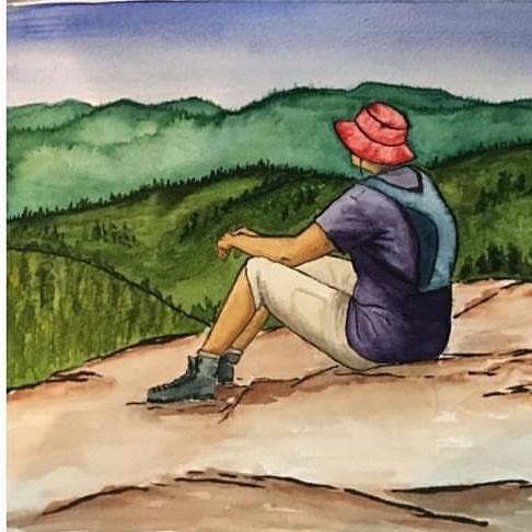
“Of all the paths you take in life, make sure a few of them are dirt.” |
AuthorAngie Gable Archives
February 2021
Categories
|
Home | Tradio | Contact | Service Portal | Employment (EEO) | Better Radio Reception
[email protected] - Office: Stanton or Irvine (606) 663-2811 - Fax: (606) 663-2895 - Text: (606) 663-2811
All Rights Reserved Moore Country 104, LLC 2009, 2011, 2014, 2020
..::Login::..
We use third-party advertising companies to serve ads when you visit our Website. These companies may use information (not including your name, address email address or telephone number) about your visits to this and other Web sites in order to provide advertisements about goods and services of interest to you. If you would like more information about this practice and to know your choices about not having this information used by these companies, click here.


 RSS Feed